CGS Logo red

Understand Near-Surface Seismic Survey Methods to your advantage

By |2024-11-12T18:49:27+00:00November 12th, 2024|Civil Engineering, Construction, Engineering|

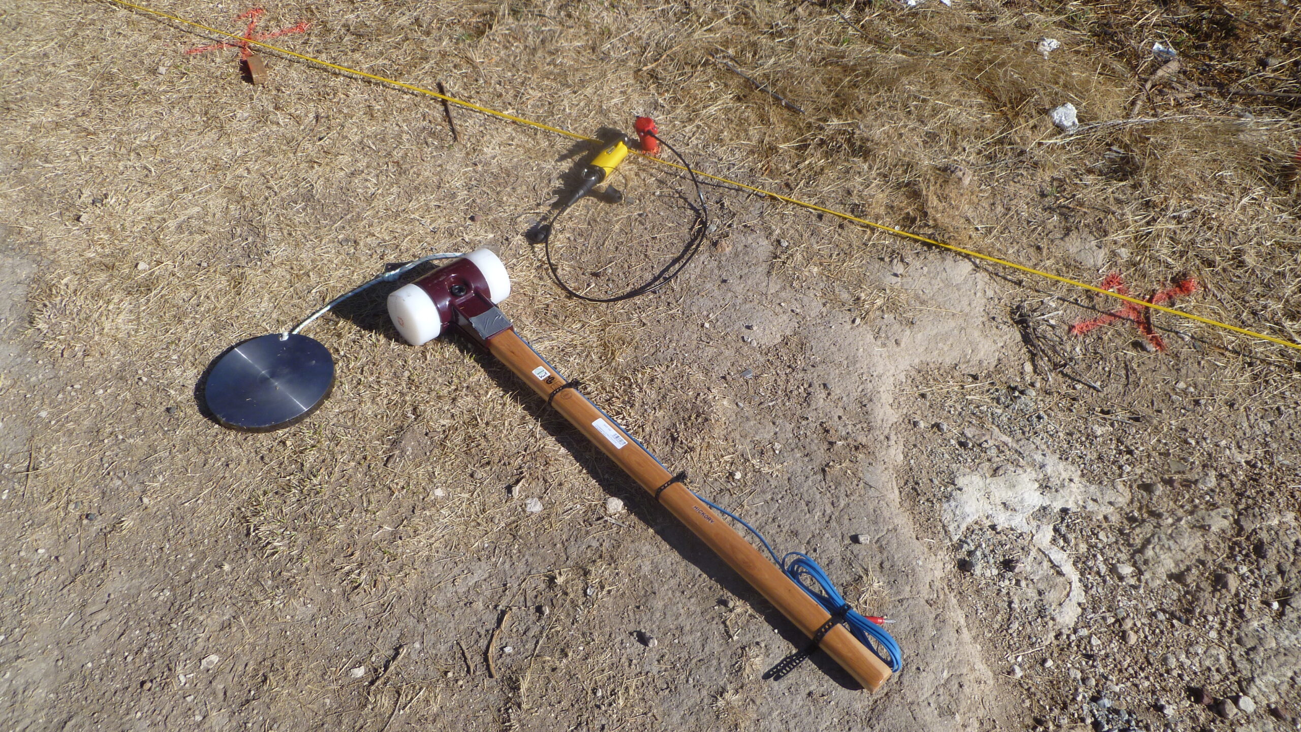
Have you ever wondered how engineers decide where to build a bridge or how exploration geologists locate valuable natural resources?  The answer often lies in near-surface seismic surveys. These methods measure the propagation of seismic waves through the Earth’s interior, helping us map out the subsurface conditions with impressive accuracy. Near-surface seismic survey methods are
5 Simple steps to locating utilities with geophysical methods

By |2024-08-27T18:19:41+00:00August 27th, 2024|Construction|

In this guide, we'll walk you through a simple 5-step process for using geophysical techniques like Ground-Penetrating Radar (GPR) and Electromagnetic Locators to pinpoint the exact location of utilities on your site. Whether you're a contractor, engineer, or project manager, mastering these methods can help you with locating utilities: Avoid costly utility strikes and delays.

Go to Top