Dr. Hector Hinojosa is part of and collaborates with:


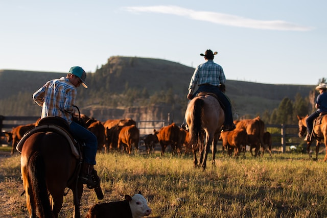
Boost the revenue of your ranch by making the most of your land.
When you work with geophysics, it’s like having x-rays to find water. Can you imagine being able to drill more wells, know where to build barnyards, and set up feeding lots efficiently?
Or how about knowing how much longer the soil is fertile enough to produce more product? If the pH changes and you know when this happens, you can amend the soil and save crops.
Maybe you live in a place where water is scarce, and building water storage is a good idea to fight droughts. Geophysics can help you find groundwater and locate the best place to build the storage to avoid leakage and structural hazards.
Perhaps you look at the ground and say: this is too sandy. But what about below the surface? Is there enough moisture to make the most of an area? Do you need to spend more on soil nutrients or organic matter?
All these questions can be answered by doing a geological and geophysical exploration of your land and figuring out all kinds of info like soil texture, type of nutrients, pH level, moisture saturation, and even how compact or steady the ground is to build a more heavy structure.
Explore the surface and subsurface to locate unused resources like groundwater, fertile soil, valuable minerals, or even energy to run your ranch.
1. REVIEW OF EXISTING GEOPHYSICAL STUDIES
Obtain better interpretations by analyzing all previous explorations of your land.
With Cordillera Geo-Services, you can be sure the understanding of the data will be based not just on current findings but also on prior studies to get better clues of what lies below the surface.
2. SURVEY DESIGN
Pick the right exploration method to get reliable data.
After reviewing existing studies, with the help of Cordillera Geo-Services, you can determine the Geophysical Exploration Method needed to explore the ground and better locate water or understand the soil.
3. FIELD GEOPHYSICAL EXPLORATION
Get an accurate picture of what lies below the surface.
Conducting the survey itself requires great care. With Cordillera Geo-Services on your team, you can be sure the setup will be precise. We will consider all noise sources so that when you gather data, you get quality assessments instead of wrong data that yields wrong interpretations.
4. ACCURATE DATA GENERATION
Work with state-of-the-art measuring equipment.
Dr. Hector Hinojosa will ensure the necessary instruments and the right software are in place to generate the rich data needed to produce 2D or 3D models of the regions where water, energy, fertile soil, or concentration of moisture and pH is located.
.
5. DUAL INTERPRETATION OF DATA
Explore the surface and subsurface from different angles.
Not only does Dr. Hector Hinojosa evaluate existing studies and the data generated from a Geophysical point of view, but he also adds his Geological perspective to the interpretation. He can see below and above and describe the value of your land accurately.
Applications:
- Groundwater exploration for water wells
- Soil salinity studies
- Soil contamination mapping
Identify areas of value in terms of water savings, soil management, and better decisions for your ranch.

“I sought Cordillera Geo-Services’ assistance to inform me of voids and optimal water well locations in my land using a 2D electrical resistivity imaging study. They were extremely helpful, timely, and expertly professional from my first phone consultation through to their final report. I requested a copy of the raw data files from the readings, which they happily provided.”
– BEN BARTON, Home owner in Texas, USA.
Discover the best areas for grazing, drilling wells, managing crops, and expanding your ranch to boost earnings.
When you run a survey with us, you will be able to:
- Detect the size of the particles in the soil and determine if its good to retain nutrients and water.
- Identify spots that need fertilizers, organic matter, or nutrients.
- Rotate livestock better for efficient grazing, according to assessments of the soil or surface.
- Plan your next building project to use water, energy, and ground better without impacting the environment or compromising safety.
Furthermore, with the right exploration methods and interpretation of data, you eliminate:
- Wrong assumptions of what lies in the subsurface.
- Unnecessary excavations and unplanned expenses that yield no value.
- Accidents due to the poor geological assessment of the ground where your building stands.
- Inefficient operation of your ranch’s main resources.
- Undetected sources of groundwater, contaminants, or unsuitable soil.
Fully licensed and certified.
