Dr. Hector Hinojosa is part of and collaborates with:


Prevent the damage, destruction, or loss of significant archaeological remains.
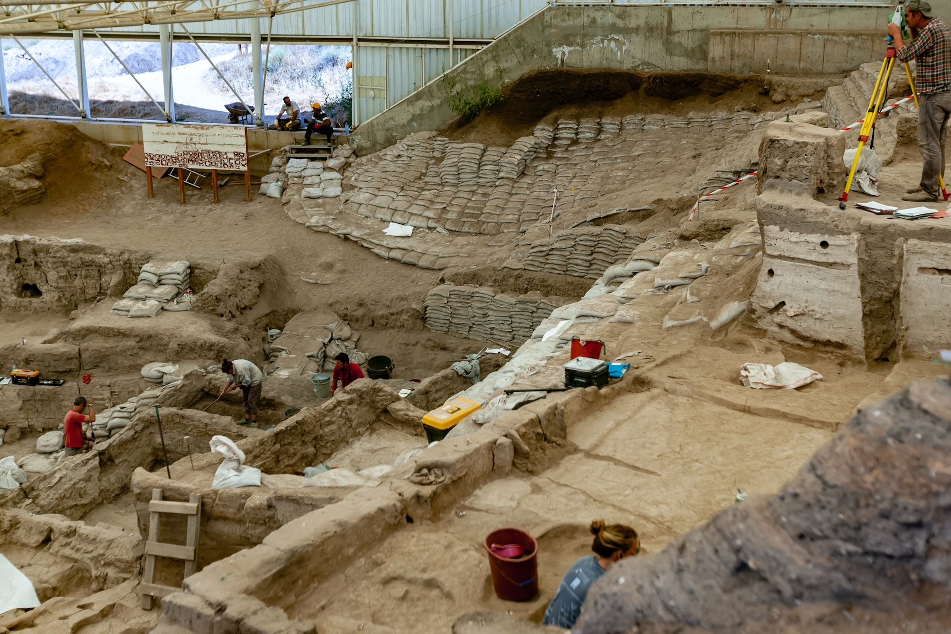
By exploring the surface and subsurface of a site used for future construction, you can reconstruct the original archaeological context before the soil is disturbed by excavations, heavy structures, and machinery.
There have been numerous instances where critical archaeological sites have been destroyed by development, and thus, valuable information about past societies and cultures was lost forever.
But thanks to geophysical exploration methods, you can assess a site before construction begins, salvage important artifacts, gather data on structures, and identify important features that may indicate activities from previous cultures.
Through Ground Penetration Radar, Electrical Resistivity Surveys, and Magnetometry, we can help you extract information that can give you valuable insights into previous human activities in the environment.
Understand the archaeological landscape through 2D and 3D imaging of the subsurface provided by our geophysical exploration methods (remote sensing).
1. REVIEW OF EXISTING GEOPHYSICAL STUDIES
Obtain better interpretations by analyzing all previous explorations.
With Cordillera Geo-Services, you can be sure the understanding of the data will be based not just on current findings but also on prior studies to get better clues of what lies below the surface.
2. SURVEY DESIGN
Pick the right exploration method to get reliable data.
After reviewing existing studies, with the help of Cordillera Geo-Services, you can determine what to look for, the Geophysical Exploration Method needed, and how to survey to collect the data required to locate buried objects, structures, and essential features.
3. FIELD GEOPHYSICAL EXPLORATION
Get a better picture of what lies below the surface.
Conducting the survey itself requires great care. With Cordillera Geo-Services on your team, you can be sure the setup will be precise, and all noise sources will be considered so that when you gather data, you get quality assessments.
4. ACCURATE DATA GENERATION
Work with state-of-the-art measuring equipment.
Dr. Hector Hinojosa will make sure the necessary instruments and the right software are in place to generate the data needed to produce 2D or 3D models of the regions explored within the archaeological landscape.
5. DUAL INTERPRETATION OF DATA
Explore the surface and subsurface from different angles.
Not only does Dr. Hector Hinojosa evaluate existing studies and the data generated from a Geophysical point of view, but he also adds his Geological perspective to the interpretation. This improvement reduces uncertainty and yields robust reports on a particular site.
Applications:
Archeological and Forensic problems
- Archaeological investigations
- Excavation planning
- Unmarked grave locations
- New cemetery plot layouts
- Geoarchaeological surveys
- Geomorphic investigations
- Forensic evidence locating
Identify areas to explore so you can preserve valuable archaeological information.

“Through the use of high-resolution 2D electrical resistivity imaging, Cordillera Geo-Services, LLC was able to provide archeologists working at site 41FN298 on the North Sulphur River floodplain in Fannin County, Texas a look into the subsurface to determine where their excavations should be focused and most fruitful. By distinguishing flood basin facies from channel fill facies through high-resolution 2D electrical resistivity imaging, archaeologists were able to determine where archaeological materials at the site are more likely to be in a primary context from areas of the site where archaeological materials (if present) are likely to lack past behavioral meaning and interpretative value due to the erosion, transport, and deposition of these materials from their original archaeological context.”
– KARL KIBLER, Geo-archaeologist.

“Cordillera Geo-Services performed several geo-physical studies (including GPR) in support of cultural resources projects that had cemeteries in the project area. Cordillera Geo-Services is well versed in the most up-to-date technology and equipment and provided a well-researched report following their investigations.”
– HALEY RUSH, Archeologist.

“Our work with Cordillera Geo-Services, LLC allowed us to identify the locations of former river channels (in three dimensions) so as to avoid tedious hand excavation in channel fill where artifacts and features are out of context. Once the archaeological excavation is complete, the results of the geophysical survey should be able to be compared to the excavation results in order to provide insight into how past peoples located their activities relative to the dynamic river channel through time. Hector’s professionalism and punctuality have been greatly beneficial to our time-sensitive cultural resources management project.”
– MOLLY HALL, Vice President/Principal Investigator AR Consultants, Inc.
We aim to help you and your team extract the most valuable information about a site without altering the layers beneath the surface.
When you run a survey with us, you will be able to:
- Detect the presence of buried structures, such as walls, foundations, and floors, that may not be visible on the surface.
- Identify variations in soil composition and locate areas where activities such as burning, cooking, or dumping waste may have occurred.
- Detect subsurface features such as ditches, pits, and burial sites.
- Cover large areas quickly so you can identify areas of interest and plan more detailed excavations.
- Identify areas of high or low magnetic intensity, which may indicate the presence of buried features such as kilns or hearths.
Furthermore, with the right exploration methods and interpretation of data, you eliminate:
- Wrong assumptions of what lies in the subsurface.
- Unnecessary excavations and unplanned expenses.
Accidents due to poor geological assessment. - Delays in the exploration.
Undetected sources of groundwater or unsuitable soil.
Fully licensed and certified.
