Produce energy better, reduce waste, and profit more.
With Cordillera Geo-Services, explore the surface and subsurface to find natural energy resources, and suitable soil for the construction of solar power plants and wind turbine sites, and make your energy plants stronger, more reliable, safer, and more cost-effective.
Dr. Hector Hinojosa is part of and collaborates with:


Everyone is thinking about energy.
How to produce more, which type of energy should we use (renewable or non-renewable), where to find it, how to reduce environmental impact, and where to store it.
Each day we need more power, and some resources aren’t being replenished enough to meet demand. While this may be bad news for some, if you’re in the business of producing energy, for you, this is good news.
Whether you want to find more coal, oil, or natural gas and generate more power from hydrocarbons or produce energy from renewable resources like solar, wind energy, hydropower, landfill gas, and geothermal, Geophysics can help you reduce costs and make the most of your energy projects.
With the help of Cordillera Geo-Services, you can locate coal, oil, and gas deposits. You can also see how much of it there is and how long the deposit lasts.
You can locate natural resources, or locate the best soil to build power plants, without digging into the soil through exploration methods like seismic, gravity, magnetic, and electromagnetic surveys. Think of having x-rays to see below the Earth, so you can know where to extract energy, where to build plants, and where to avoid digging to reduce geological hazards.
The data you can generate with geophysical and geological explorations is essential if you want to plan and design energy plants that will run in the most efficient way.
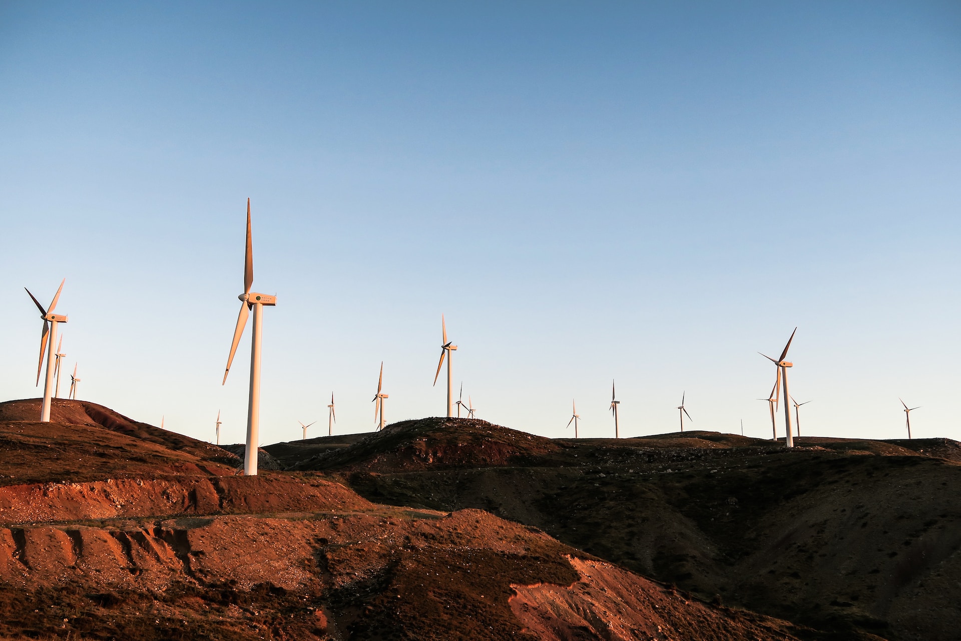
Even if you aim to build plants using renewable energy, geophysics can improve your project by helping you find the most suitable place to set up wind turbine sites, and solar power plants, or gather landfill gas.
1. REVIEW OF EXISTING GEOPHYSICAL STUDIES
Obtain better interpretations by analyzing all previous explorations.
With Cordillera Geo-Services, you can be sure the understanding of the data will be based not just on current findings of energy in the land but also on prior studies to get better clues of what lies below the surface.
2. SURVEY DESIGN
Pick the right exploration method to get reliable data.
After reviewing existing studies, with the help of Cordillera Geo-Services, you can determine the Geophysical Exploration Method needed to explore the ground and better find natural resources.
3. FIELD GEOPHYSICAL EXPLORATION
Get a better picture of what lies below the surface.
Conducting the survey itself requires great care. With Cordillera Geo-Services on your team, you can be sure the setup will be precise, and all noise sources will be considered so that when you gather data, you get quality assessments.
4. ACCURATE DATA GENERATION
Work with state-of-the-art measuring equipment.
Dr. Hector Hinojosa will ensure the necessary instruments and the right software are in place to generate the data needed to produce 2D or 3D models of the deposits of oil, gas, water, and geothermal regions, or the subsurface site conditions for renewable energy power plants.
5. DUAL INTERPRETATION OF DATA
Explore the surface and subsurface from different angles.
Not only does Dr. Hector Hinojosa evaluate existing studies and the data generated from a Geophysical point of view, but he also adds his Geological perspective to the interpretation. This improvement reduces uncertainty and yields robust reports on a particular site. Perfect if you want to discover untapped energy resources, or the ideal site to build renewable energy power plants.
Applications:
Geothermal problems
- Exploration
- Operations (in Developing and Producing Geothermal Fields):
- Porosity mapping within carbonate reservoirs
- Image hot/cold section of reservoir
- Monitoring purposes: flood front (steam, water, and CO2), fluid injection and migration in reservoir, and induced-seismicity
- Porosity mapping within carbonate reservoirs
Reneweable energies (wind, solar, hydropower, landfill gas)
- Subsurface site characterization
- Karst terrain mapping
- Depth to bedrock mapping
- Soil resistivity mapping
Hydrocarbons (oil, gas, coal)
- Exploration
Identify areas to explore so you have more chances of finding natural resources.

Geophysical services for the construction of dam.
“Through the use of high-resolution 2D electrical resistivity imaging, Cordillera Geo-Services, LLC was able to provide archeologists working at site 41FN298 on the North Sulphur River floodplain in Fannin County, Texas a look into the subsurface to determine where their excavations should be focused and most fruitful. By distinguishing flood basin facies from channel fill facies through high-resolution 2D electrical resistivity imaging, archaeologists were able to determine where archaeological materials at the site are more likely to be in a primary context from areas of the site where archaeological materials (if present) are likely to lack past behavioral meaning and interpretative value due to the erosion, transport, and deposition of these materials from their original archaeological context.”
– KARL KIBLER, Geoarcheologist.
Imagine having your energy plant running smoothly due to being built on safe ground, near deposits of resources, and with enough space.
When you run a survey with us, you will be able to:
- Detect the presence of saturated moisture, sinkholes, or even groundwater that affects the surface so you avoid soil unsuitable for your hydrocarbon-based energy plant or renewable energy power plant.
- Identify variations in soil composition and determine if you need to mitigate hazards due to natural resource extractions or changes in the geological landscape.
- Plan the extraction of natural resources better based on 2D or 3D images that reveal deposits.
- Understand the subsurface conditions of your future renewable energy power plant.
Furthermore, with the right exploration methods and interpretation of data, you eliminate:
- Wrong assumptions of what lies in the subsurface.
- Unnecessary excavations and unplanned expenses.
- Accidents due to poor geological assessment.
- Delays in the exploration.
Fully licensed and certified.
