GRAVIMETRIC APPLICATIONS
Contact us for an initial consultation and cost estimate.
What is the Gravimetry field technique?
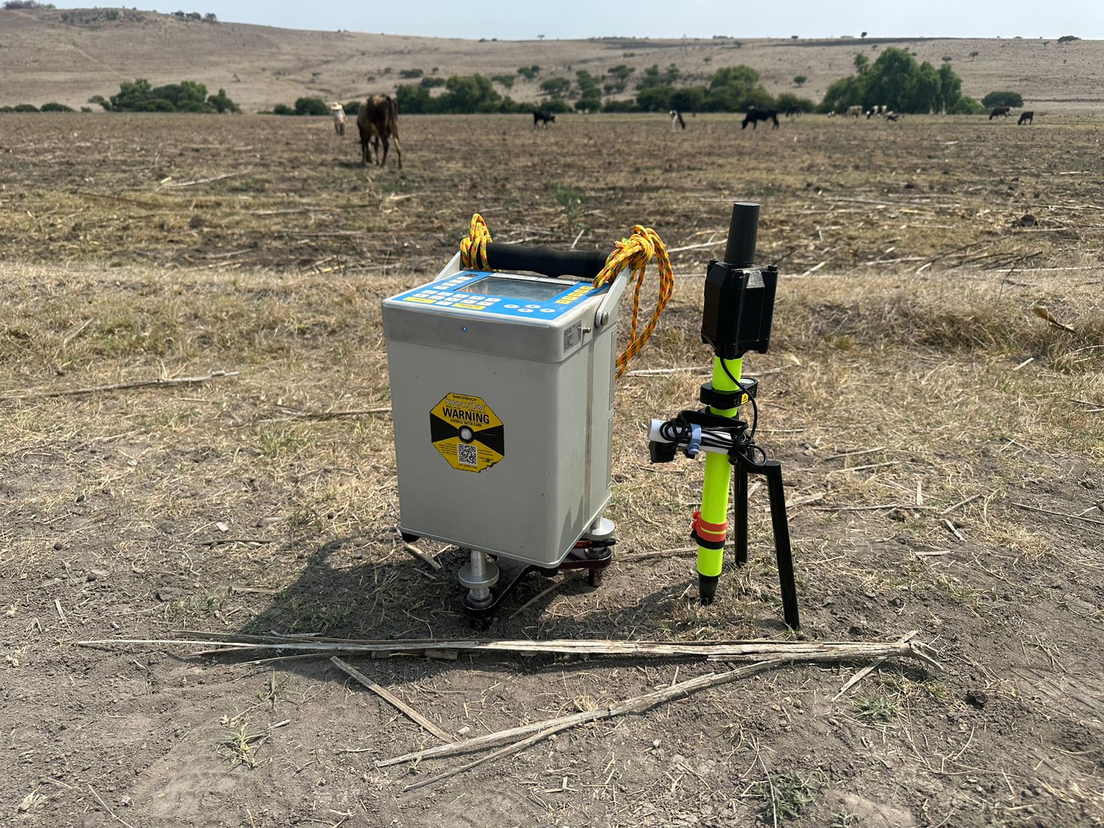
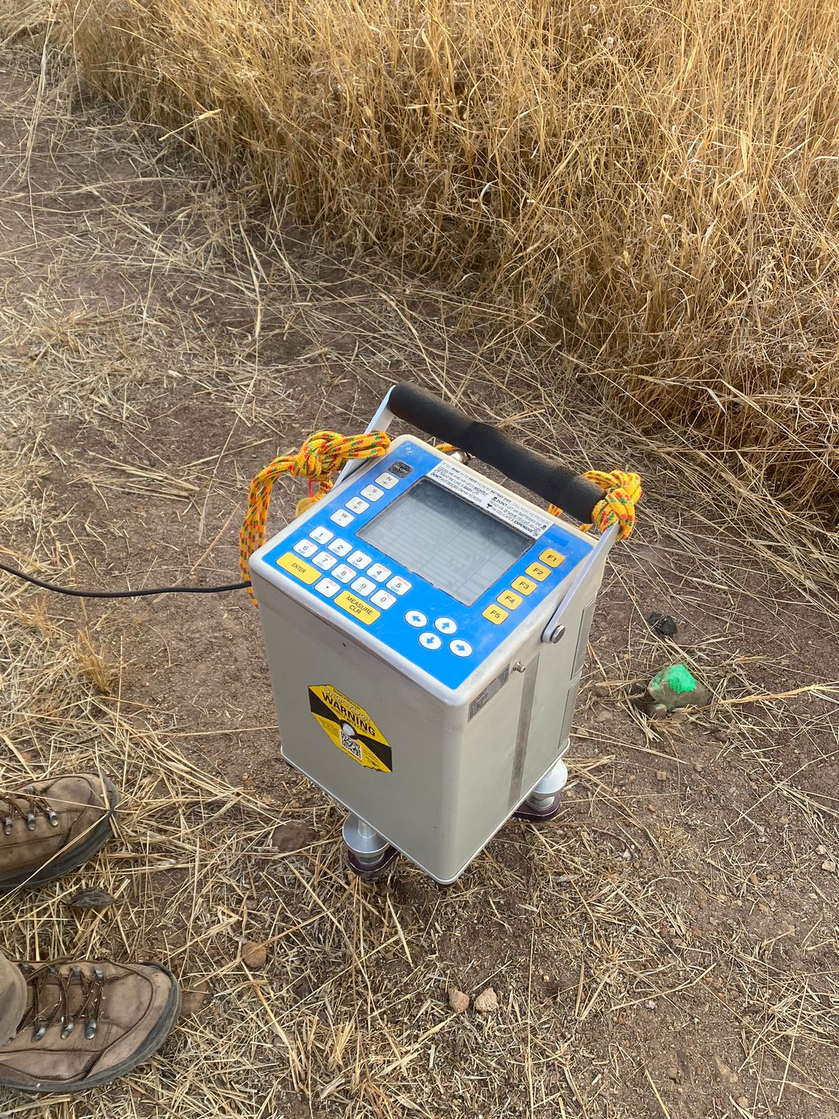
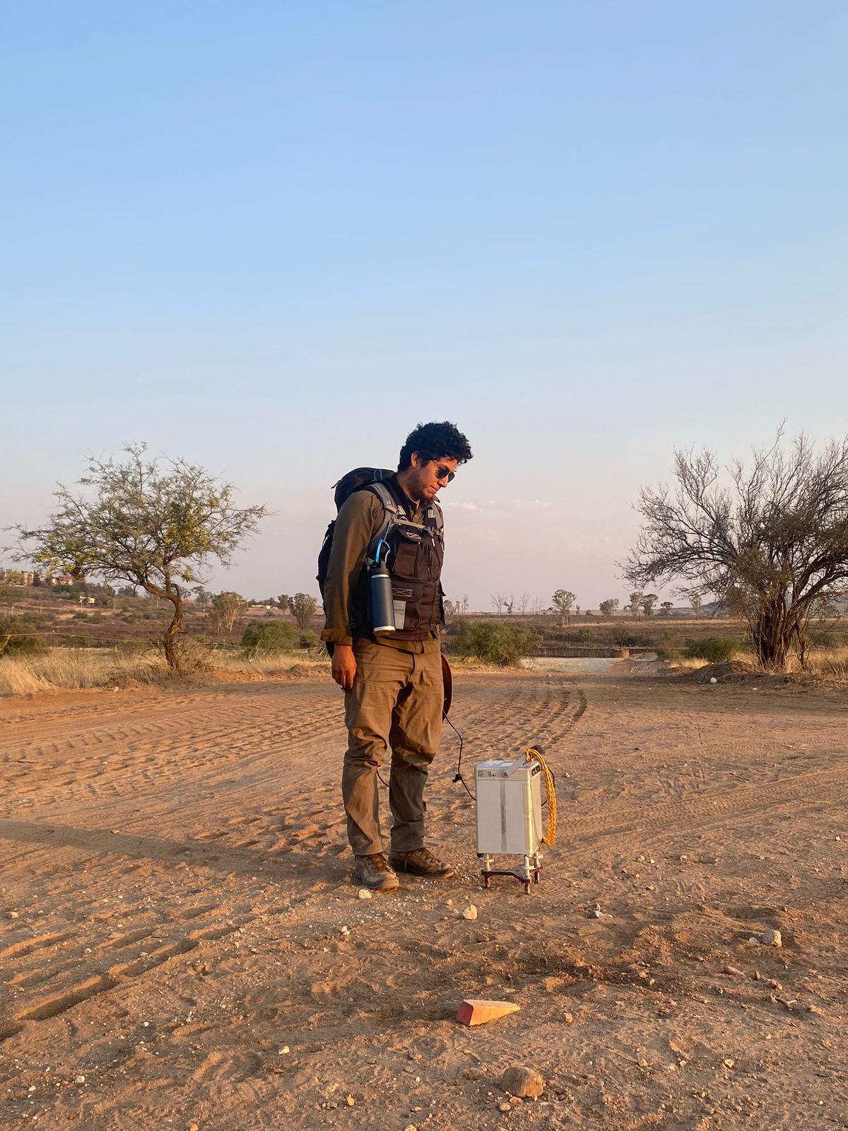
Gravimetry is a non-invasive, passive potential field technique that measures variations in the Earth’s gravitational field. These variations are caused by density contrasts in the near-surface rock and sediment because different subsurface materials have different bulk densities. The measured data is processed to determine the targets’ depth, size, shape, and composition. Gravity surveys seek to detect contrasting or anomalous density areas by collecting surface measurements of the Earth’s gravitational field. Gravimetric surveys are carried out using an extremely sensitive instrument, so-called gravimeter, to measure minute variations in the acceleration due to gravity. A high-precision topographic survey often accompanies gravimetric surveys. When positioned above a dense material, it records the acceleration (g) as a relatively high (a positive gravity anomaly). A relative gravity low (or negative gravity anomaly) is recorded above a low-density feature (e.g., an air-filled cavity). Cordillera Geo-Services can acquire and interpret gravimetric data for various applications across the energy, mining, environmental, groundwater, geotechnical, engineering, and cultural resources sectors.


