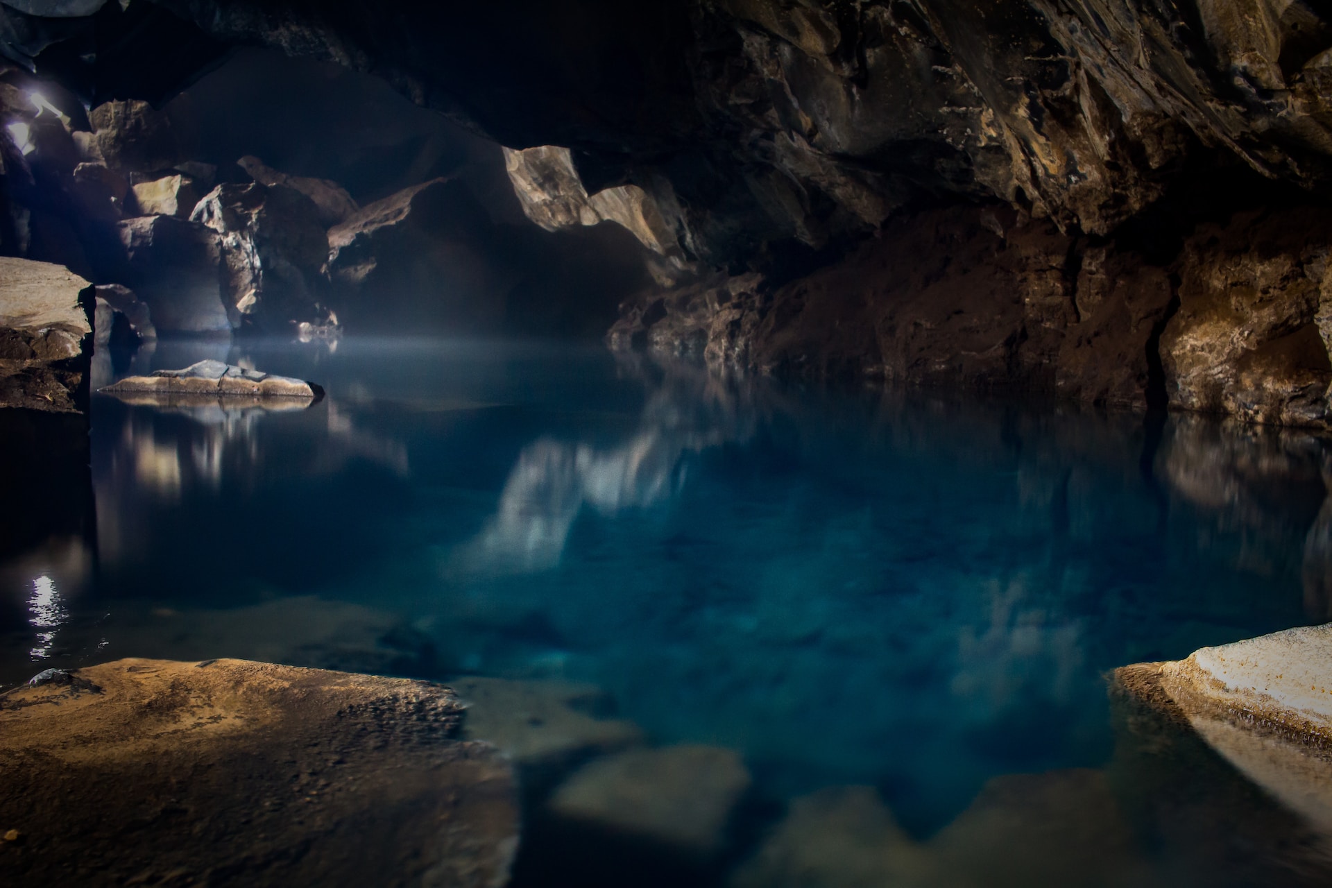
These concealed water reservoirs can be a lifeline for land development, infrastructure projects, or even sustaining ranching operations. If you’re wondering how to tap into this concealed bounty, Geophysics is the key to locating underground water.
When it comes to finding water beneath the Earth’s surface, traditional methods might not always cut it. That’s where geophysics, the science of using physical properties of the Earth to study its subsurface, comes into play. Geophysicists employ a variety of techniques to detect and characterize underground aquifers. Here’s how they do it:
Geophysical methods at a glance
Electrical Resistivity Imaging: This method involves passing a small electrical current into the ground and measuring the resistance. Different underground materials like water, rocks, or soil have distinct electrical properties. By analyzing the variations in resistance, geophysicists can map the presence and characteristics of aquifers.
Seismic Refraction: You may have heard of earthquakes, but did you know seismic waves can also be used for aquifer exploration? Seismic refraction involves sending seismic waves into the Earth’s subsurface and analyzing their reflection and refraction. By studying the time it takes for waves to return, geophysicists can determine the depth and thickness of aquifers.
Ground-Penetrating Radar (GPR): Think of GPR as an underground radar system. It uses radar pulses to image the subsurface. The radar waves bounce back when they encounter changes in material properties, helping experts identify aquifers’ presence and depth.
Magnetic Resonance: Magnetic resonance imaging isn’t just for medical scans. You can also use it to examine the underground. By studying the response of hydrogen atoms in water to a magnetic field, geophysicists can assess the location and extent of aquifers.
Unlocking the benefits of using geophysics to locate underground water
Traditional drilling methods can be expensive and may not always yield results. Geophysics reduces the risk of costly dry holes by providing valuable insights into the subsurface before drilling begins.
Geophysical methods are also non-invasive, minimizing disturbance to the environment. This is especially important in areas with fragile ecosystems.
You can also accurately map aquifer size, depth, and water quality. This precision is invaluable for optimizing the design of water extraction systems.
By understanding aquifer characteristics, you can plan sustainable water extraction strategies, ensuring a long-term water supply for your needs.
One final word on geophysics and aquifers
Geophysics offers a smart and cost-effective solution for harnessing underground aquifers for land development, infrastructure, or ranching. It’s like having a treasure map of hidden water sources, helping you make informed decisions about where and how to access this invaluable resource.
So, the next time you require water, remember that geophysics is your ally in locating underground aquifers. It’s not just science; it’s a pathway to water security and a more sustainable future.
Ready to explore the depths? Let’s talk.