SEISMOELECTRIC SURVEYING METHOD
Contact us for an initial consultation and cost estimate.
What is the Seismoelectric method?
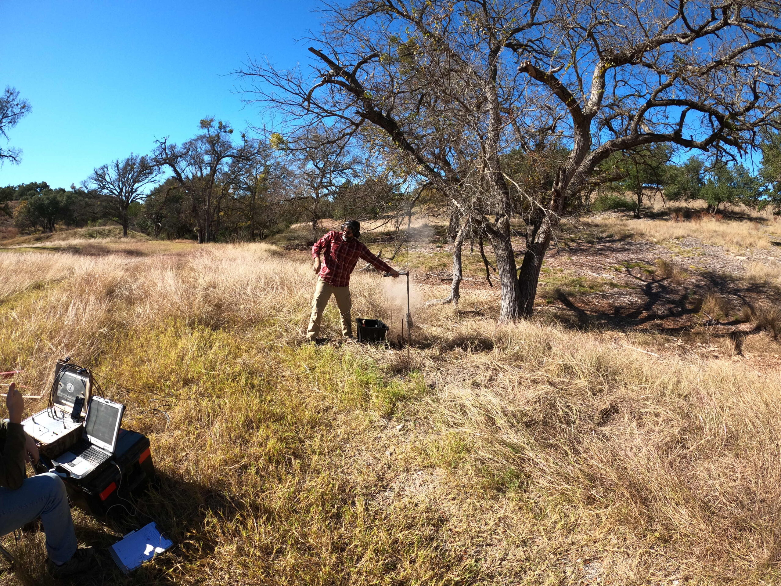
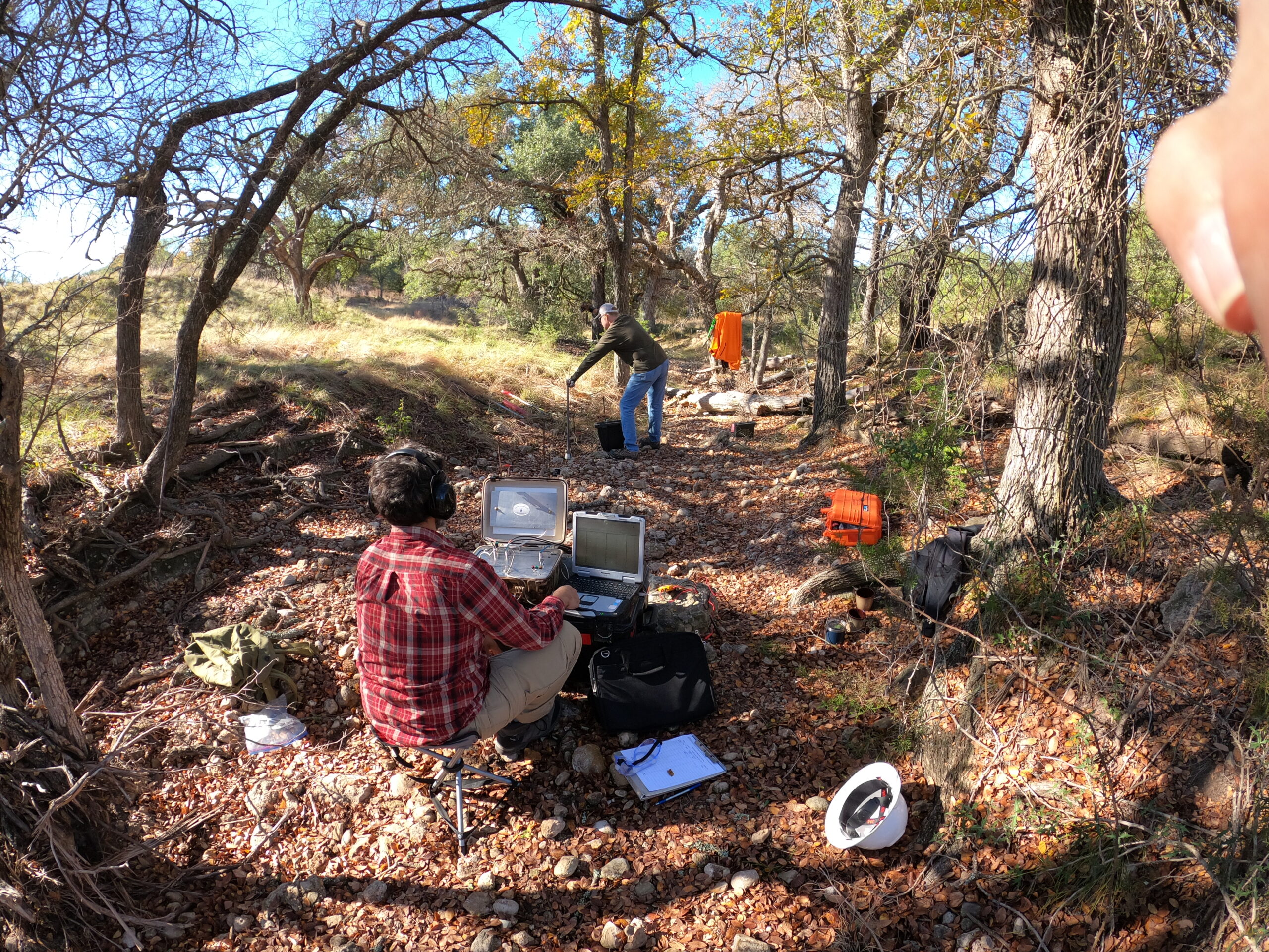
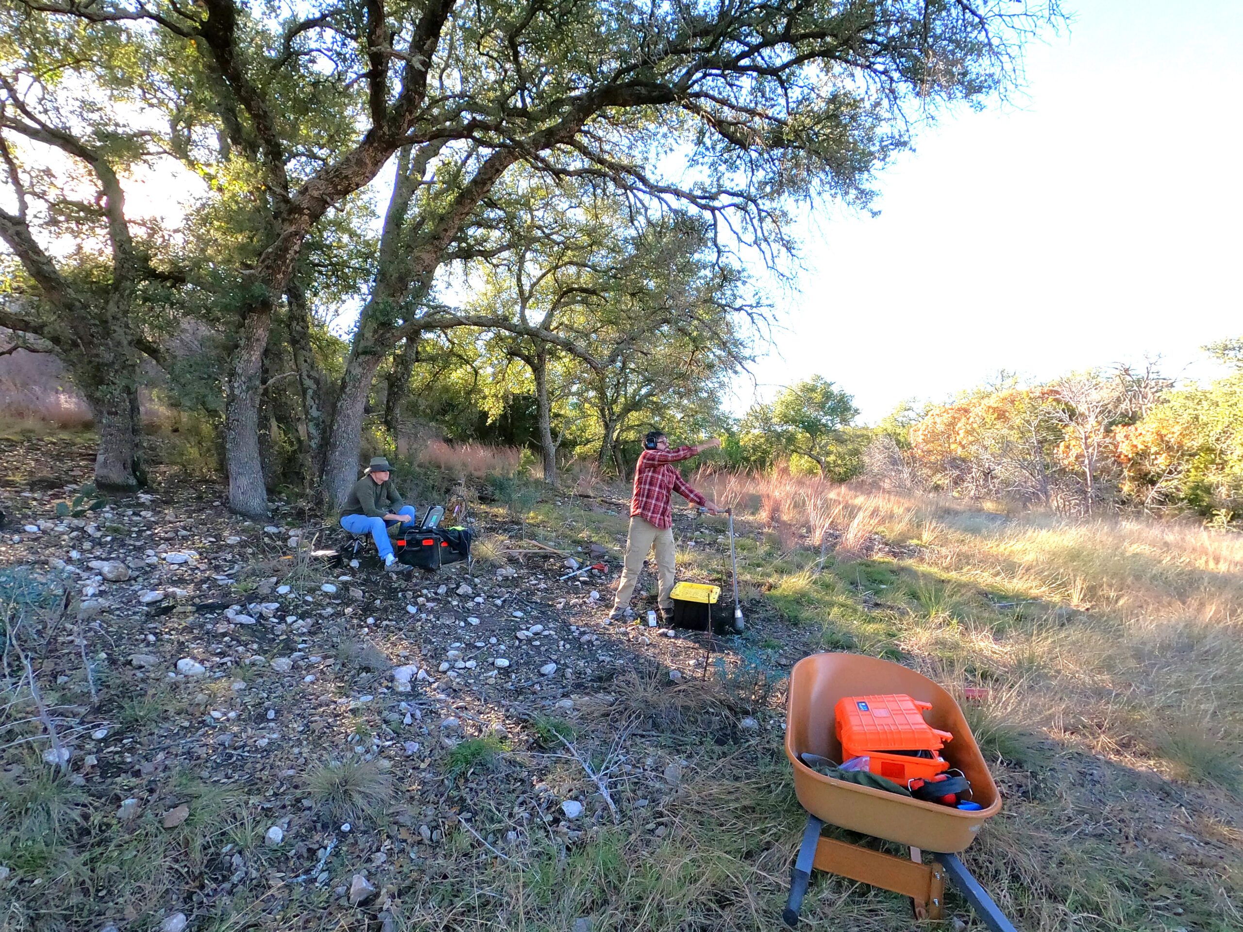
The seismoelectric method measures seismoelectric or “electrokinetic” signals from fluid-bearing soils, sediments, and rocks, created from the transformation of electromagnetic waves from seismic waves generated by an active seismic source. Seismoelectric signals are produced whenever a fluid (i.e., groundwater or oil) is forced to move by the pressure changes related to the migration of seismic waves. As the seismic waves move through the subsurface, they encounter geological interfaces that separate materials of different hydrological properties. The moving seismic waves squeeze the rock matrix in the subsurface materials (i.e., aquifers). The less-compressible water moves minimal distances relative to the rock matrix. The water carries free ionic charges away from its partners bound to pore surfaces, creating a charge separation at a geological interface and forming an electrical dipole. The electrical dipole radiates electromagnetic waves that propagate to the surface and are sensed by an antennae array of four electrodes which detect an electric field. Output from the electroseismic inversion is typically a plot showing hydraulic conductivity versus depth.
This interpretation assumes one-dimensional (1D) layered Earth. If many 1D soundings are measured in close vicinity, a pseudo-2D cross-section can be generated.


